
DataXplor
Le récolement nouvelle génération — précis, simple, autonome


A SMARTER WAY TO
CAPTURE UTILITY NETWORKS
Open-trench as-built surveys are often one of the most challenging stages of a project. They are time-consuming, dependent on surveyor availability, disruptive to schedules and a common source of delays and operational constraints.
DataXplor changes the process : Developed by Geoliance, DataXplor enables utility networks to be surveyed in a single operation, directly from a smartphone and with complete autonomy.
One action. One capture.
One Class A as-built survey.
Why DataXplor stands out ?
Data is captured while the trench is open, without waiting for a surveyor to visit the site. Field teams record information as work progresses.

DataXplor also enables the identification of key network assets such as welds, joints, fittings and other critical components, with integrated traceability built directly into the survey record.
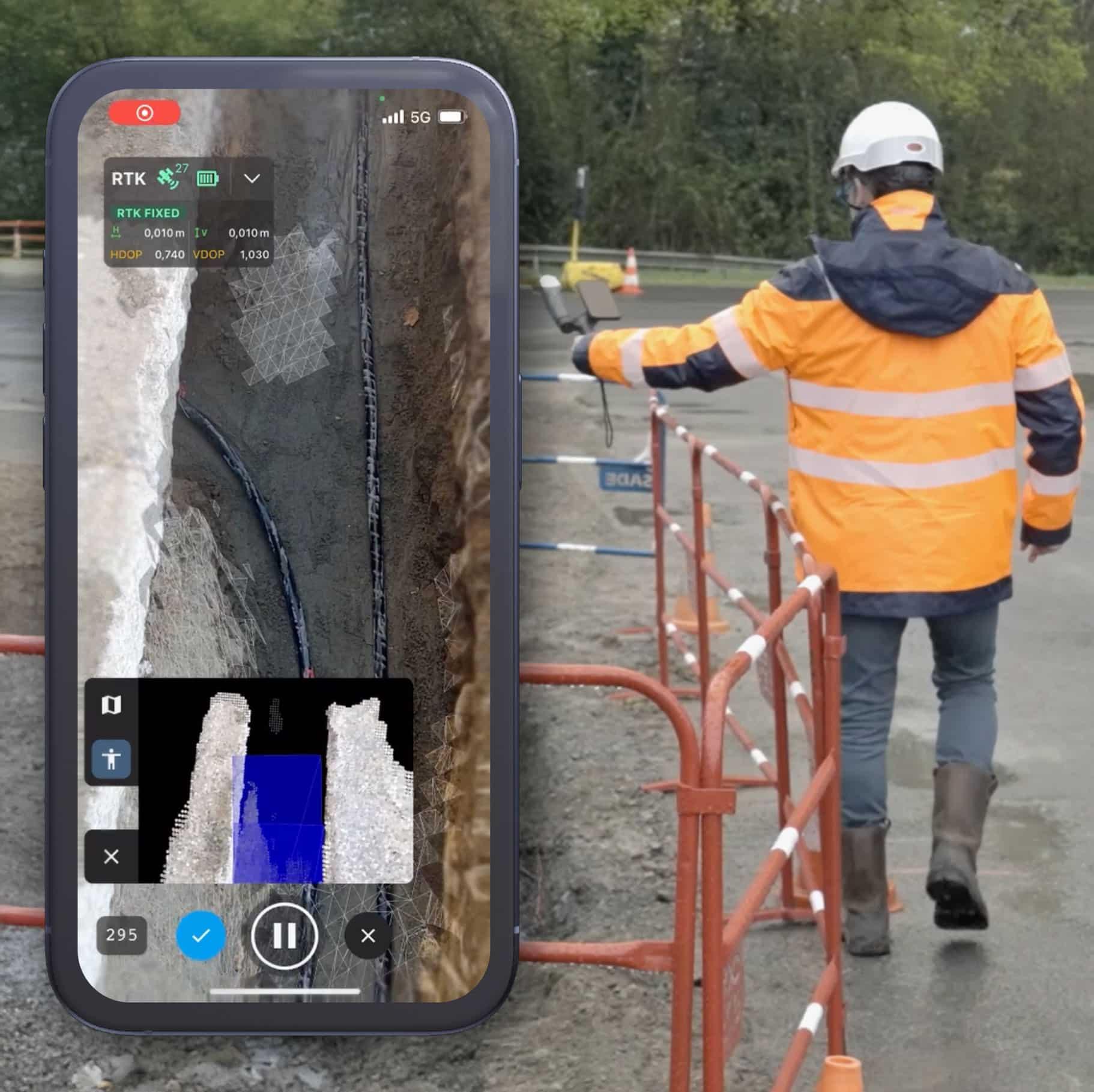
How it works
Advanced measurement technology in a smartphone
DataXplor combines:
- Centimetre-level GNSS corrections
- Automated image capture
- 3D reconstruction algorithms
Using these technologies, the system reconstructs a fully georeferenced 3D representation of the excavation and all visible utility networks.
Through augmented reality features, hidden assets can also be precisely documented, including:
- Reserved ducts
- Connection fittings
- Bolts and fixings
- Welded joints
- Infrastructure that will become inaccessible after backfilling
Once validated, the data is transmitted to Geoliance servers for processing and production of final deliverables.
No complex equipment. No dependency on external intervention. Just your smartphone and the DataXplor platform.
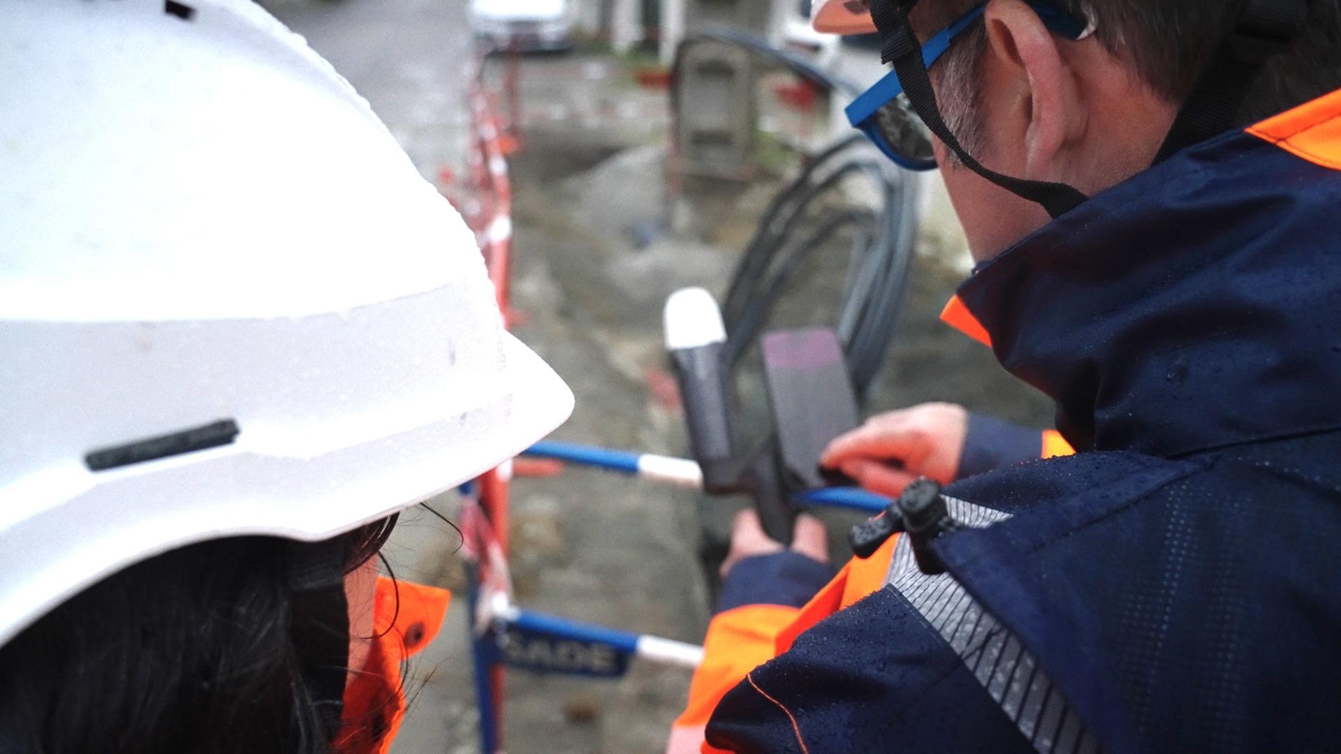
Built for field operations
Simple
- Install the DataXplor kit
- Capture the data
- Save the survey
- Upload for processing
Safer
- Faster trench closure
- Reduced site co-activity
- Lower operational risk
Reliable
Developed by Datageo, a utility-network specialist with more than 30 years of experience.
Productive
One survey captures everything.
Projects move forward immediately without waiting for additional interventions.

WHAT YOU
GAIN
- Class A as-built surveys without requiring a surveyor on site
- Faster trench closure
- Complete field-team autonomy
- Shorter project timelines and lower costs
- Rapid access to usable data
- The ability to manage multiple worksites simultaneously
- Earthworks and excavation volume calculations derived directly from captured data
- A solution that is easy to deploy and delivers a rapid return on investment
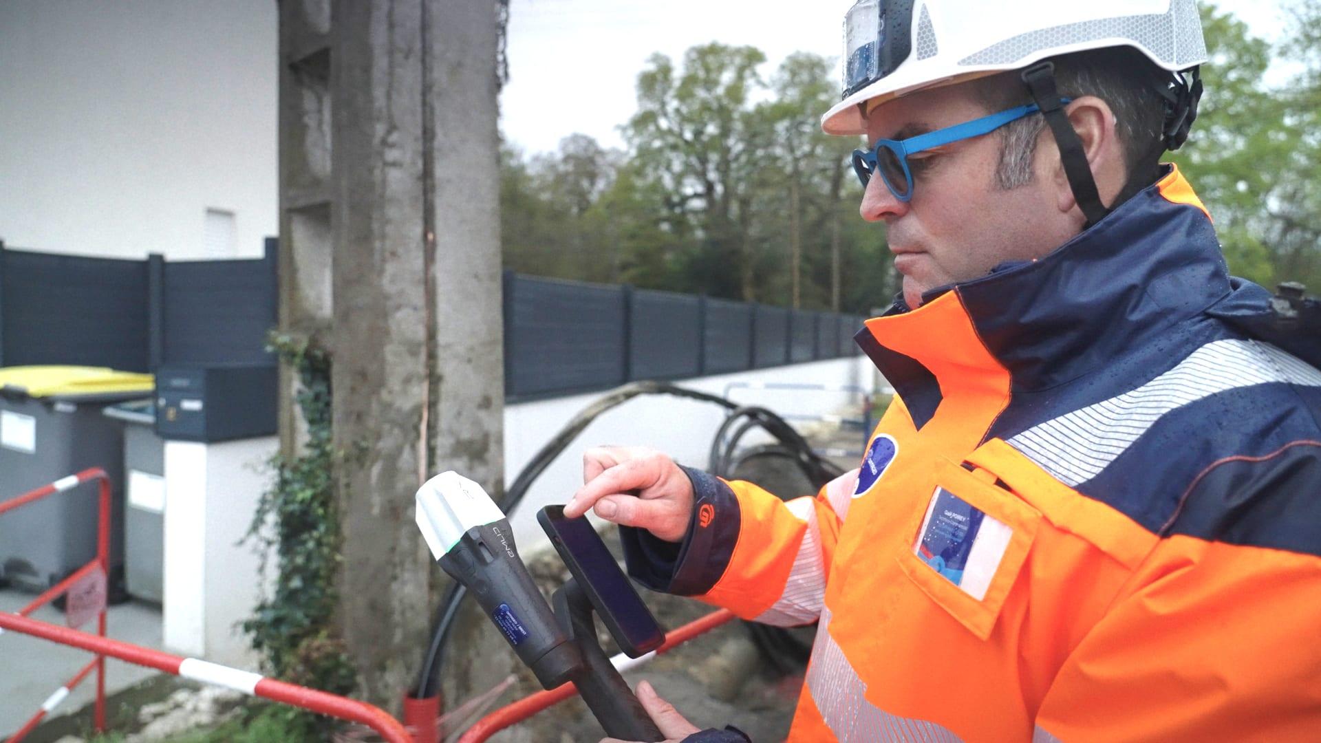
Typical applications
- Utility works (water, wastewater, electricity, gas, telecommunications, fibre-optic networks)
- Earthworks and civil engineering projects
- Urban worksites with significant operational constraints
- Projects requiring rapid trench closure
- Excavation and earthworks volume calculations
- Georeferencing utility assets and poles for engineering studies
- Topographic surveys of visible assets and georeferenced markings
- Inventory and location of network accessories and critical infrastructure points
Already trusted by industry leaders


THE GEOLIANCE SUPPORT PACKAGE
Every DataXplor deployment includes:
- Field-user training

- Dedicated technical support

- Quality control services

- Continuous software updates and improvements

A proven, reliable solution that is ready to use from day one.
READY TO SEE IT IN ACTION ?
A 30-minute demonstration is all it takes to understand the impact DataXplor can have on your projects.

Why not put DataXplor to the test on your next as-built survey?