
UPDATE THESYSTEM
Understanding territories · Informing decisions · Building the future
UNDERSTAND
THE TERRITORY
Reveal what shapes the landscape. Turn data into insight.
A territory is a complex system. Layers. Flows. Interactions. You cannot rely on assumptions. You need to capture, structure, and interpret what is really happening.
All come together to create a reliable picture.
A foundation that is current, actionable, and ready to support operations.


This is where Geoliance makes the difference:
we turn fragmented information into a clear
and dependable reference framework.
Built to support understanding.
Territories cannot be simplified. They must be decoded. And the more accurate the insight, the better every decision that follows.
INFORM BETTER DECISIONS

Data on its own does not drive decisions. It needs to be interpreted, connected, and applied. This is where the system moves forward. From understanding to action.
Whether planning developments, selecting locations, securing infrastructure, or setting priorities, every decision depends on finding the right balance. Between local realities, operational needs, and project objectives.

This is where GEOLIANCE steps in. We do not add complexity. We provide clarity. We help prioritise. We strengthen confidence in decision-making.
BUILD FOR THE FUTURE


Projects never stand still. They grow. They adapt. They evolve. This is where collective expertise makes the difference.

The GEOLIANCE Group brings together complementary capabilities across surveying, geography, networks, mapping, and data management. A unified ecosystem designed to adapt to every context.

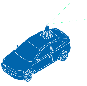

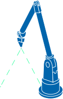
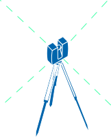
Our solutions are not delivered as fixed outputs. They are designed to evolve, recalibrate, and integrate into long-term strategies.
