Our Services
Turning Field Data into Operational Decisions

ONE COMMITMENT DRIVES EVERYTHING WE DO : PROVIDING THE RIGHT DATA, AT THE RIGHT TIME, TO SUPPORT THE RIGHT DECISIONS.
Measure. Map. Design. Inspect. Structure data.
Geoliance helps industrial organisations, infrastructure operators, utilities and public authorities gain a clearer understanding of their environment and maintain control over their projects.
From field data acquisition to decision support, our multidisciplinary teams combine complementary expertise to deliver reliable, actionable information tailored to real operational challenges.


Expertise that supports every stage of your project
Whether the challenge is industrial, territorial, infrastructure-related or asset-management driven, our specialists deliver the expertise required to transform complexity into clarity.
Our services cover the entire geospatial and engineering data lifecycle:
- Acquiring and validating field data

- Measuring, inspecting and analysing existing assets

- Designing and securing infrastructure projects

- Structuring and enhancing data assets

- Integrating solutions tailored to business requirements

Our areas of expertise
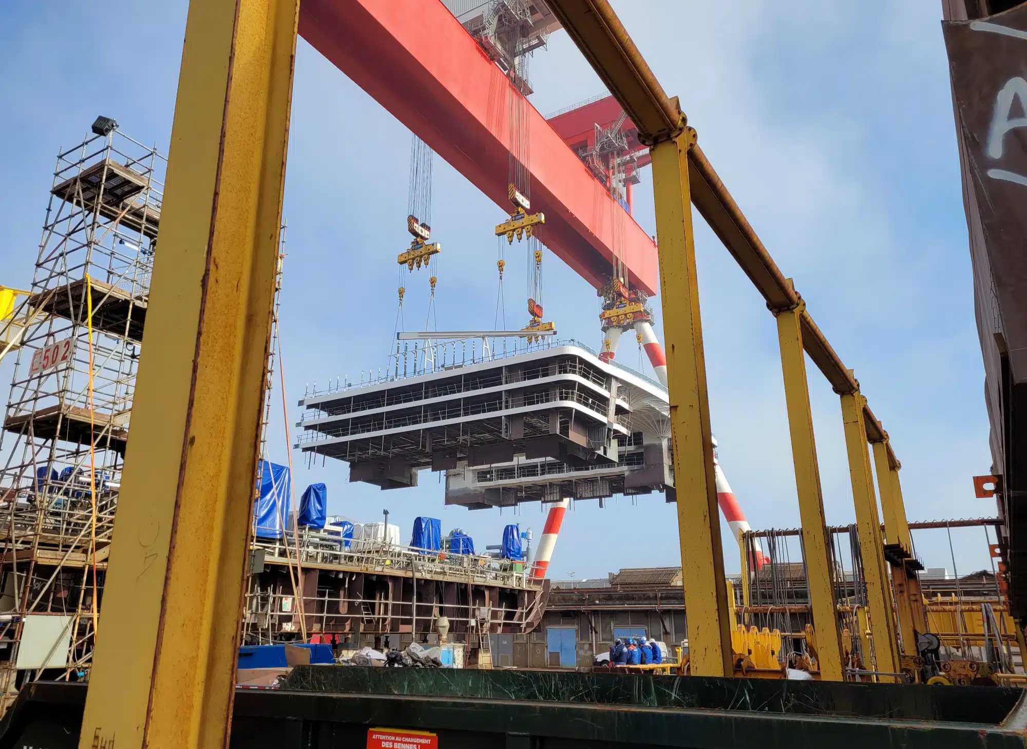
Metrology & Surveying
Measure, model and verify existing conditions to improve engineering studies, construction projects and asset operations.
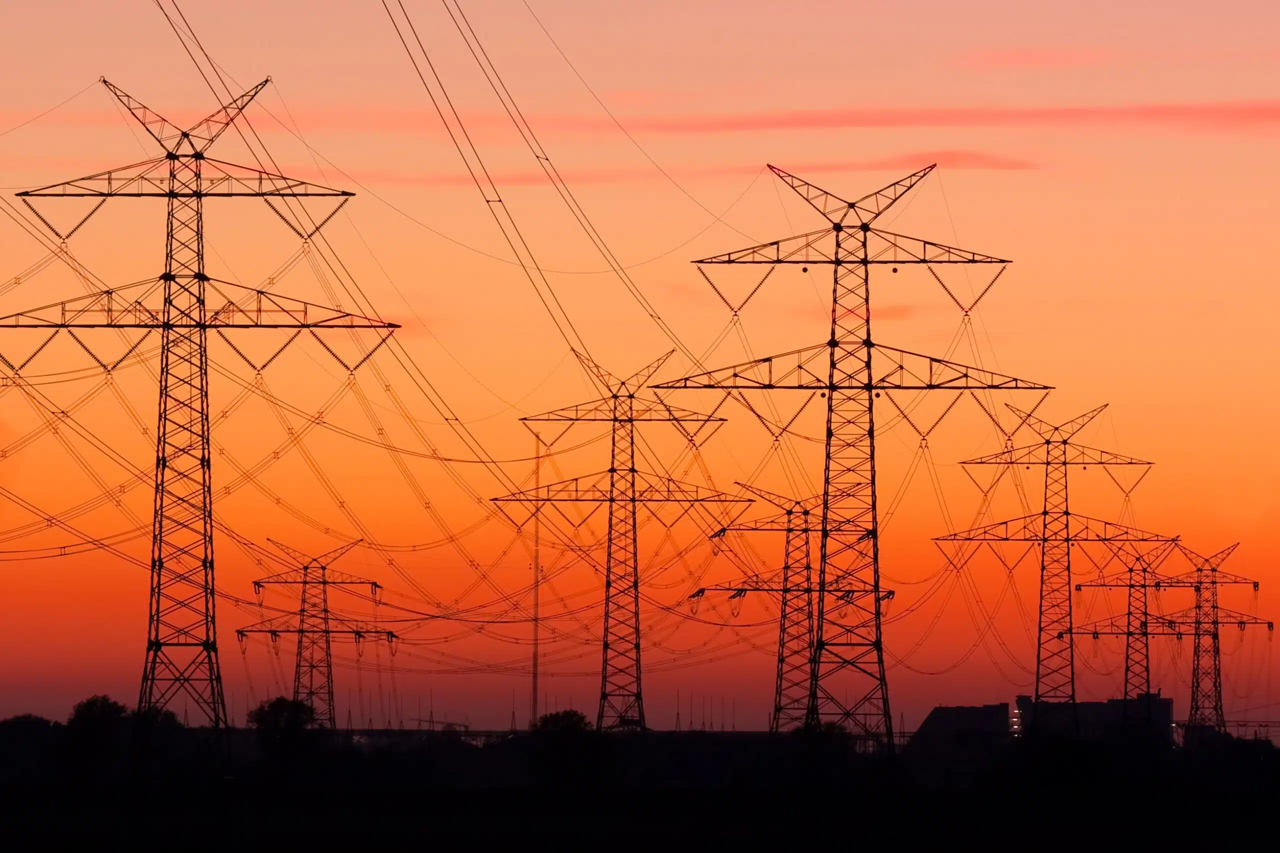
Network Engineering & Utility Detection
Locate, analyse and design utility infrastructure to secure projects and support long-term network development.

Mapping & GIS
Capture, structure and enhance geographic information to better understand territories, manage assets and support strategic decision-making.

Measurement Systems Integration
Design and deploy measurement systems tailored to operational constraints and the most demanding industrial requirements.

AT GEOLIANCE,
TECHNOLOGY IS NEVER
THE END GOAL
Our role is to transform complex data into information that can be immediately understood and used by decision-makers, infrastructure operators, engineering consultancies and field teams. Whether the challenge involves measurement, mapping, engineering or systems integration, every service is designed to solve a real operational problem and deliver practical outcomes.

Looking to improve asset knowledge, reduce project risk or gain more value from your data?
Talk to our experts and discover how Geoliance can help you make better decisions with confidence.