Mobile Mapping Systems (MMS)
Capture linear infrastructure without disrupting operations


Bringing 3D data to the places that need it most
Understanding infrastructure at scale often requires moving fast.

Mobile Mapping Systems (MMS) combine high-density terrestrial LiDAR with 360° panoramic imagery mounted on a moving platform, whether a vehicle, railcar, boat, trolley or pedestrian system.
The result is a continuous, accurate and consistent 3D representation of infrastructure, captured without interrupting operations, even in the most demanding environments.
MMS enables you to capture reality at operational speed, where traditional surveying methods reach their limits.
A MOBILE TECHNOLOGY BUILT FOR
COMPLEX CORRIDORS
MMS relies on dynamic data acquisition, with sensors continuously collecting information while the platform is moving.
Each point within the 3D point cloud is positioned using a combination of:
- GNSS for geolocation
- Inertial Measurement Units (IMU) for movement tracking
- Odometers for trajectory continuity
Lorsque le projet l’exige, l’intégration de points de calage au sol permet d’atteindre des précisions absolues centimétriques (2 à 3 cm), compatibles avec les standards topographiques et les projets linéaires exigeants.
This dynamic approach offers:
- Extensive coverage in a single survey pass
- Consistent datasets across tens or hundreds of kilometres
- Access to areas that are difficult or impossible to survey using traditional methods

The speed of mobile acquisition, backed by survey-grade rigour
At Geoliance, MMS is not about collecting as many kilometres as possible.
It is about producing reliable, actionable geospatial data.
In the field
Our survey teams adapt vehicle speed, acquisition strategies and survey protocols to traffic conditions, site constraints and project objectives.
Their role is to ensure acquisition stability and maximise the quality of the future point cloud.


The combination of field expertise and advanced processing transforms rapid acquisition into robust, reliable and immediately usable geospatial intelligence.
What we deliver
Georeferenced LiDAR datasets and panoramic imagery

The Geoliance Group operates a fleet of advanced MMS platforms, including:
- StreetMapper V (IGI)
- SM-Lite
- BMS-3D (Viametris)
Their versatility allows them to operate across a wide variety of environments.
PCRS production, Urban asset management, Road condition assessment, Traffic and safety studies

Their ability to adapt to challenging environments is what makes MMS such a powerful alternative to conventional survey methods.
Project references
- PCRS vector mapping – SIEML

- PCRS vector mapping - TE44

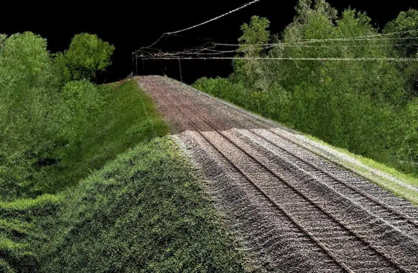
- Railway corridor surveys – SNCF Réseau
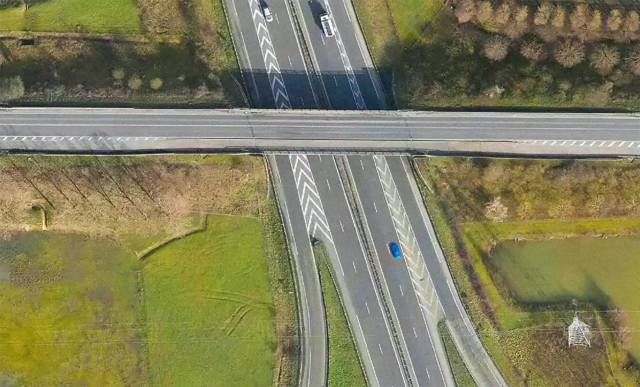
- Road and motorway infrastructure projects
Trusted by leading infrastructure organisations




APPLICATION
SECTORS
- Manufacturing

- Energy

- Utility Networks

- Territories & Asset Management

- Transportation & Mobility

TECHNICAL
CAPABILITIES
Sensors & platforms
RIEGL LiDAR systems, Ladybug panoramic cameras, IGI inertial systems, BMS-3D mobile mapping platforms, StreetMapper V, MS-Lite
Software
TerraSolid, RIEGL, MicroStation, AutoCAD, GrafNav, FME, Qinertial, AeroOffice, QGIS.
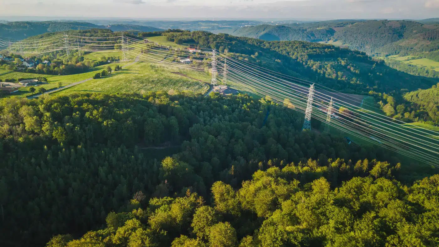
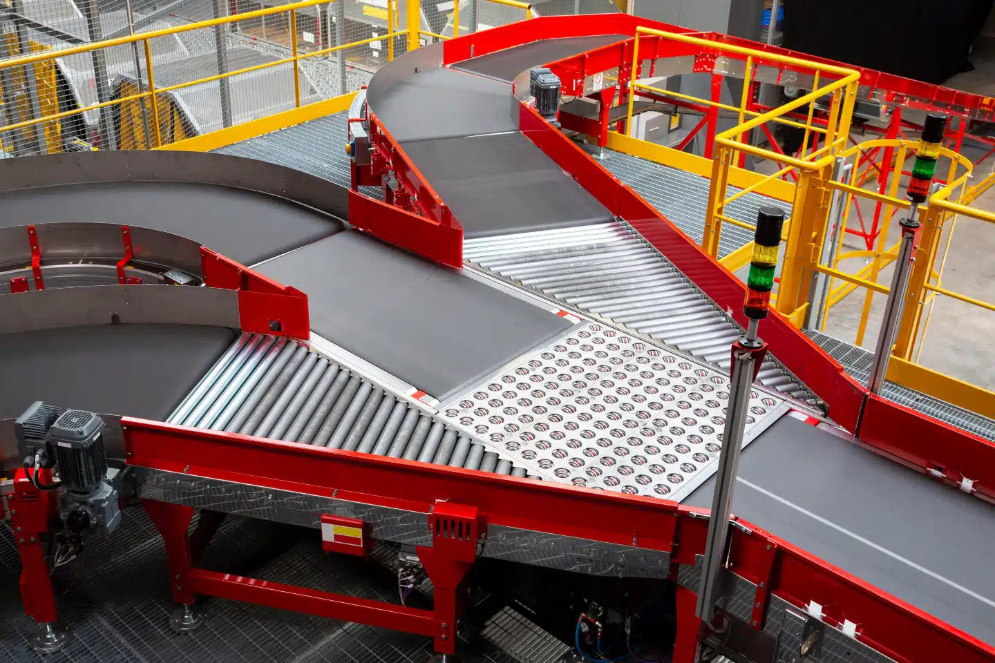
Geoliance deploys MMS solutions across a broad range of environments: Urban areas, Natural landscapes, Industrial facilities, Coastal environments, Railway corridors, Transportation infrastructure networks.
Our interventions
PROJECTION Robinson

Rethink the way you map linear infrastructure
Need reliable, continuous and actionable data without interrupting operations?
Geoliance’s Mobile Mapping Systems combine speed, precision and operational efficiency to deliver high-quality geospatial information at scale.