Metrology & Surveying
Measure Reality. Reduce Uncertainty. Deliver with Confidence.
Every successful project starts with reliable data.


The Geoliance Group helps industrial companies, infrastructure owners and project stakeholders capture, analyse and leverage geometric data.
From individual components to large-scale assets and territories, our expertise provides the precision needed to understand reality, reduce uncertainty and make informed decisions.
One clear objective: turning measurements into actionable insight.
END-TO-END
GEOMETRIC DATA EXPERTISE
Our capabilities cover the entire value chain of geometric data:
- Capturing reality in 3D

- Measuring and inspecting with precision

- Modelling, analysing and managing data

- Setting out and verifying assets in the field

Our Areas of Expertise
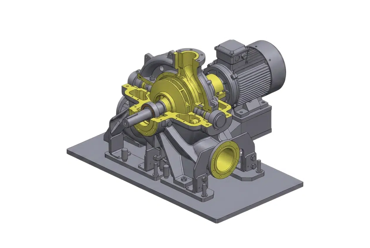
3D Reality Capture & BIM
Capture buildings, infrastructure and industrial facilities to create accurate 3D models and digital representations of existing assets.

Metrology & Reverse Engineering
Measure, inspect and analyse components or equipment to verify compliance, recreate existing assets or improve industrial processes.

Surveying & Geospatial Control
Acquire the field data required for design, construction, positioning and asset verification, with the level of accuracy each project demands.

Reliable Data
from Field to Operation
By combining measurement, modelling and verification, Geoliance delivers data that can be used immediately for engineering studies, construction projects, maintenance programmes and asset management.
Whether you need to better understand a site, inspect a structure or prepare a future project, our specialists provide the accurate information required to move forward with confidence.

Need expert support in metrology, 3D reality capture or surveying?
Talk to our specialists and discover how accurate data can improve your decisions and project outcomes.