Airborne
LiDAR mapping
High-precision data to model your territories, even beneath dense vegetation


See more accurately.
Decide faster.
To analyse land use, document assets or understand the true shape of the terrain, including beneath dense forest cover, airborne LiDAR mapping delivers a reliable, comprehensive and objective 3D view.

Laser data penetrates vegetation.
Imagery adds context and improves interpretation.
Together, they create a single trusted reference dataset to help you plan, protect, manage and develop territories, particularly for long corridor surveys linked to linear infrastructure.
MEASUREMENT TECHNOLOGY BUILT
FOR OPERATIONAL RESULTS
Airborne LiDAR works by projecting laser pulses from an aerial platform, such as a drone, microlight aircraft, helicopter or fixed-wing aircraft, and measuring their return with very high accuracy.
The technology produces detailed 3D models of terrain, buildings and vegetation, even in highly enclosed or complex environments.
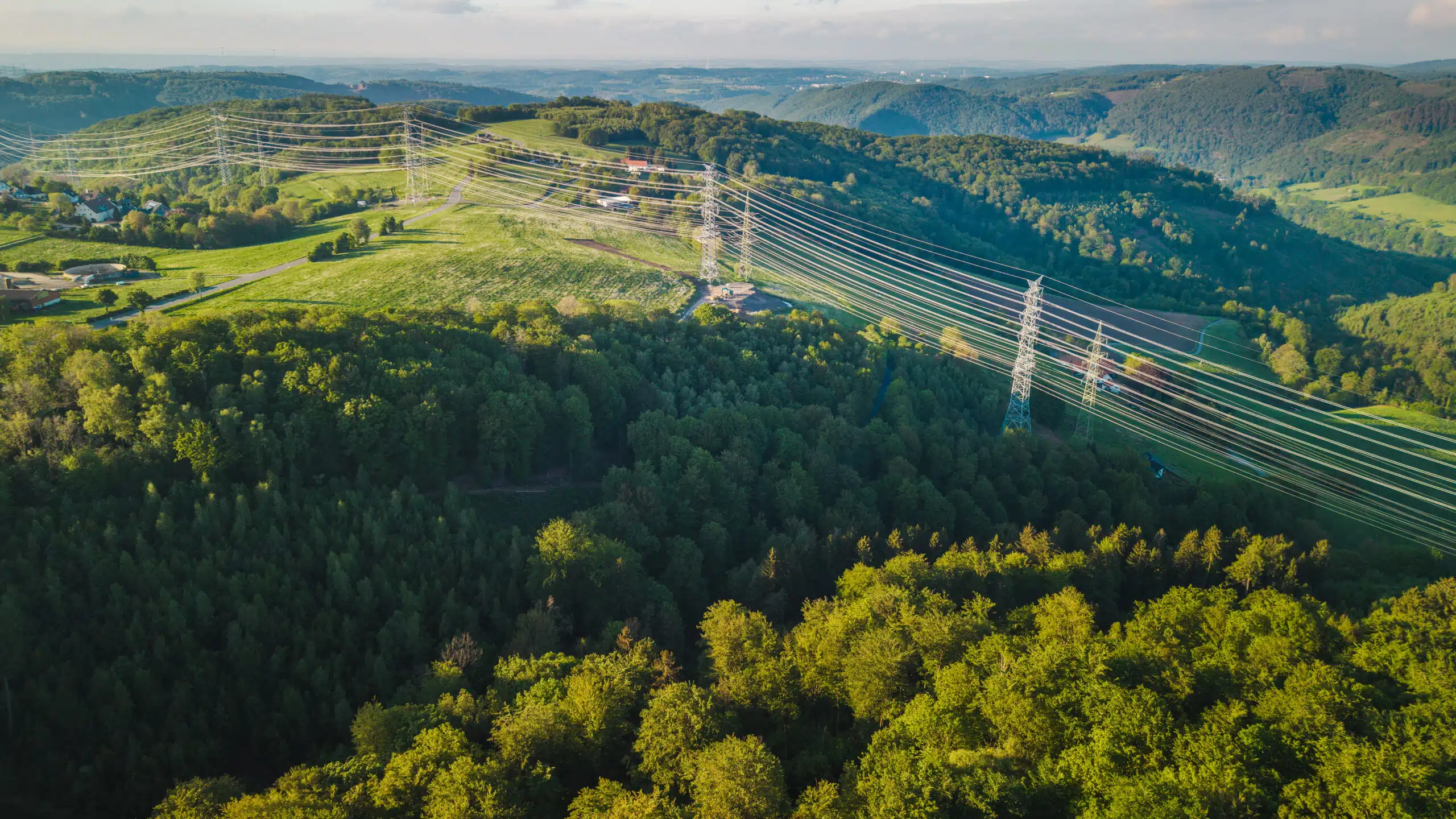
It is particularly well suited to corridor surveys for roads, railways, power lines, pipelines, rivers and other linear infrastructure.
With Geoliance, LiDAR data becomes structured, validated and ready-to-use information that can be integrated into your business tools and decision-making processes.
A fully controlled LiDAR workflow
- The right platform for the project
Aircraft, helicopter, microlight or drone deployment, selected according to the project scale, required accuracy and operational constraints. - Optimised flight planning
Complete coverage, consistent data quality, controlled point density and optimised flight altitude. - Expert data processing
Point-cloud extraction, classification and 3D modelling. Reliable, quality-controlled data ready for operational use. - Synchronized ultra-high-resolution imagery
Georeferenced imagery enhances interpretation and supports more detailed analysis.
The combination of LiDAR and imagery provides a sharper, safer and more complete understanding of the territory.

Our services
- Airborne LiDAR acquisition with simultaneous high-resolution imagery
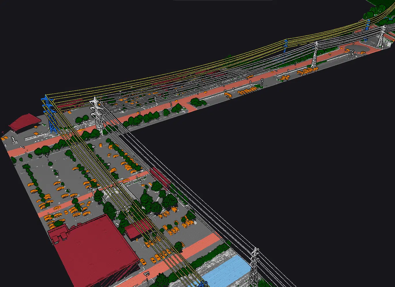
- Classification of very dense point clouds, including ground, buildings, vegetation, water, structures, cables and pylons
- Generation of Digital Terrain Models, Digital Surface Models, Digital Canopy Models, contour lines and derived products
- Orthophotography and photorealistic 3D models
- Thematic analysis for hydraulic studies, natural hazards, environmental assessment, forestry and infrastructure
- GIS and BIM integration, with support for operational use
Project references
LiDAR Campaign
Large-scale LiDAR and imagery campaign, 2025–2026
Client: GIE SERAIL
Location: New Caledonia
Scope
Large-scale LiDAR and imagery acquisition to improve territorial knowledge and support planning.

Client references






Related sectors
- Territories and asset management

- Transportation and mobility

- Utility networks

Sensor architecture built for precision
Geoliance Group’s LiDAR and imaging platforms, including the VPX-1 solution powered by RIEGL technology, combine:
Laser capture

LiDAR can operate by day or by night, and does not depend on ambient light conditions.
This helps secure acquisition campaigns and project schedules.
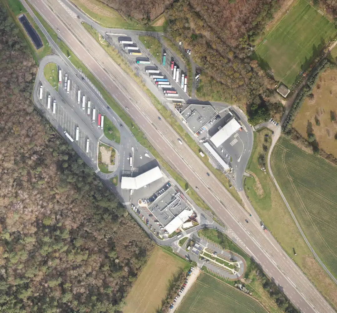
Complete spatial and temporal integration
- Altimetric accuracy of around 5 cm
- Colourised point clouds
- Enriched semantic classification
- Ultra-high-resolution orthophotography
- Consistent 3D models ready for direct use
The result is a single reference dataset for planning, infrastructure, environmental and asset management projects.
TECHNICAL CAPABILITIES
Equipment
RIEGL LiDAR systems, Phase One cameras, Large-format metric cameras, including Leica and Vexcel through partner networks, IGI and Applanix inertial navigation systems
Platforms
Drone, Microlight aircraft, Helicopter, Fixed-wing aircraft
Software suites
TerraSolid, RIEGL software, MicroStation, AutoCAD, Metashape, Inpho, PMS3D, GrafNav, FME, Global Mapper
Our interventions
PROJECTION Robinson

Give your territories the precision they deserve
Need detailed, reliable and actionable knowledge of complex territories or corridor mapping projects?
Geoliance turns airborne LiDAR mapping into a powerful decision-making and performance tool.